
Heat has emerged as one of Europe’s greatest enemies. In the new series ‘Europe battling heat‘, IO finds out how cities (can) arm themselves against it. Today: the role of digital twins in this battle.
It’s all over the news: Urban areas tend to become extremely hot these days. To properly cool down our cities, “we need digital twins in the early stages of city planning”, says Stefan Trometer, Managing Director at Virtual City Systems.
- Digital twins play a crucial role in cooling down urban areas and combating extreme heat in European cities
- They help urban planners, architects, and government authorities create detailed 3D representations of cities
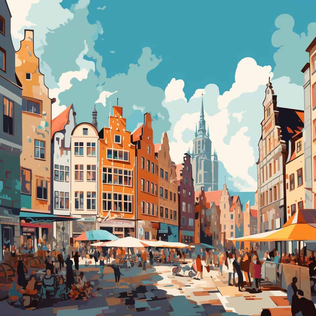
Traveling to Southern Europe for a city trip in the summer is becoming increasingly challenging. As temperatures are record high, cities become like ovens, trapping and magnifying heat within their concrete and asphalt-laden landscapes. Heat islands have become an urgent topic with the adverse effects of heat stress on public health, energy consumption, and infrastructure resilience. It is time for a change: cities need to cool down.

Default tools not sufficient
Mapping heat islands in cities is step number one, as they enable targeted heat mitigation strategies. But the default tools that are used for this might not be sufficient, Trometer explains. “Weather stations alone cannot provide a comprehensive picture, as their location and positioning can influence the reported temperature.It is quite hard to know the exact conditions of a city.”
Furthermore, using sensors and weather stations allows you to capture physical data at particular points; however, estimating conditions just ten meters away, becomes problematic. To overcome these limitations, simulations can be used. That is exactly what Trometer’s company Virtual City Systems is working on. Their virtual city platforms and tools, or digital twins, help urban planners, architects, and government authorities create detailed 3D representations of cities, complete with geospatial data and visualizations.
A deep dive into digital twins
Digital twins can work with a variety of data sources and are continuously updated to reflect changes in the real world. “In our 3D city models, we incorporate all different kinds of information”, Trometer explains. “The gist of surfaces, pathways and roads, green areas, and data regarding the wind, sun movement, temperature, and humidity. By providing municipalities with this information, they can not only reconstruct single buildings, but whole areas of a city.”
Bremen
The city of Bremen for example, is pursuing an ambitious climate protection strategy and is also taking advantage of the opportunities offered by a digital twin of the city. After only recently integrating a solar potential calculation for the urban area into the 3D city model, the State Office of Geoinformation Bremen is now using the Digital Twin for detailed simulations of the microclimate.
Preventing overheating
So, what do digital twins tell us about preventing overheating in cities? Trometer suggests, first and foremost, greening the urban landscape. “You need shadow and greening of roofs and facades.” He notes that simulations often show that a few trees won’t dramatically change a whole area’s situation – you need to change the entire environment. “And with simulations, you know exactly how many trees you will need to provide enough shade and cool down the city.” And many other measures can be taken, like using materials with higher solar reflectance, and enhancing urban wind flow.
Even though digital twins can help, there are still a lot of hurdles to overcome in this reconstruction process. “In many cases, the budget for city planning is minimal. Moreover, we still need stone and bricks to pave roads for cars, bicycles, and pedestrians. Often, you have to change the whole character of a city to cool it down.” So in the upcoming years, there is a lot of work to be done in the cities in Europe.
A digital future
Despite these challenges, Trometer is optimistic about the future of urban planning as more and more digital solutions are being implemented. He primarily sees potential in linking more sensor data with 3D city models to address the effects of global warming on cities even better. “For example, in dry periods, giving the right amount of water to the plants and trees is essential. If you implement humidity sensors in the soil, and link this to a 3D model, you can have real-time feedback on how much water different places of the city need. So that the city can respond to this feedback in time.” And we can leverage airborne temperature mapping and satellite services as well.
However beneficial digital twins may be in dealing with the impacts of global warming, it’s important to recognise their limitations. No matter how much we would like it, “ultimately, digital twins cannot directly alter the significant rise in temperatures”, Trometer concludes. “I hope that we will make great progress in addressing the climate crisis in the upcoming years.”
Related Posts


