

From energy companies to bulb growers, space data is increasingly being used by companies to solve societal issues worldwide. But how can these companies make optimal use of those enormous data streams coming from space? NL Space Campus provides the facilities and creates the ecosystem that organizations need to work on the latest innovations.
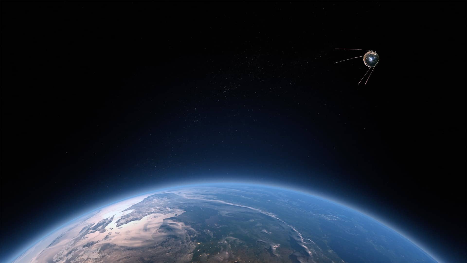
Not everyone is aware of the fact that today’s world relies heavily on data coming from space. Yet it plays an important key role in solving a wide variety of societal issues, ranging from security to innovation in the agricultural sector. Space data is also indispensable for addressing the climate crisis, for example monitoring climate trends such as forest fires or making predictions about erosion. Indeed, the days when only rocket scientists were concerned with space are long gone.
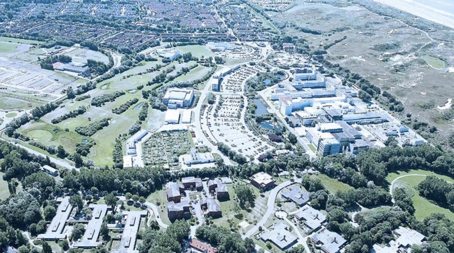
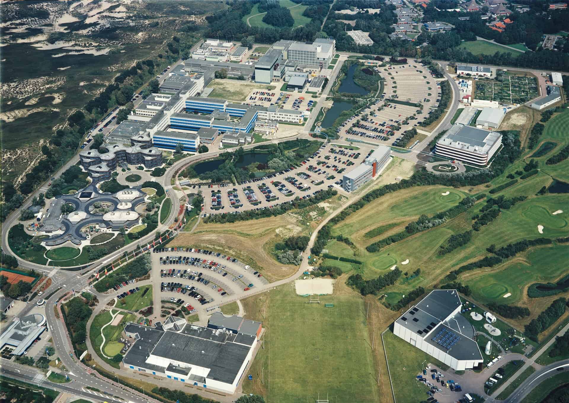
In the same vein, the space economy has also gained momentum, and anyone who regularly visits the NL Space Campus in Noordwijk can experience it. What was previously mainly a business park around ESTEC, the largest research center of the European Space Agency ESA, is increasingly developing into what will eventually become the vibrant epicenter of the Dutch space industry. People, knowledge, and ideas from different sectors are brought together here and space data is being put to full use.
Navigate
The Centre of Excellence EGNSS (CoE) is one of the parties located at the NL Space Campus. It is a collaboration between several established names including IT service provider CGI, Space, Science & Technology Corporation (S[&]T) of Delft, and the Netherlands Aerospace Institute (NLR). This CoE is designed to help companies and agencies consciously apply data generated by Global Navigation Satellite Systems (GNSS), or satellite navigation data. This includes data from the American GPS (Global Positioning System), for example, but also our own European Galileo data.

“Navigation data is important to everyone. We use it daily on our smartphones. Also, a lot of applications in traffic management, shipping, autonomous vehicles, or time synchronization depend on these networks,” says Bas van der Hoeven, Vice President Space CGI Netherlands and also a board member of SpaceNed, the trade association for the Dutch Space Industry. “Or take public order and security. Anklets of criminals work based on GNSS. It allows accurate mapping of exactly where a person is located.”
Since the CoE’s existence, dozens of parties have already knocked on the door for advice, from large energy companies to individual researchers or start-ups. For example, the CoE was recently approached by ambulances about the deployment of navigation systems in their vehicles. “We advised on currently available technology. And made them aware of the conscious use of satellite navigation including potential vulnerabilities, such as system hacking or unreliable data.”
The Space Week
NL Space Campus together with ESA ESTEC, Leiden2022, and many partners organized the first edition of The Space Week in 2022 in which the space sector came together with events for companies, professionals, scientists, and the public. Also during this week, many non-space parties contacted the CoE during the Navigate to the Future event. “We then collected ideas from the public and awarded two vouchers to the winning parties that were introduced to space data as a solution to societal challenges through this way.”
In that context, the CoE gave a master class on the applicability of GNSS data to one of the winners. This was mainly about knowledge sharing on satellite navigation, its vulnerabilities and future developments. The second voucher went to a space-design studio with the winning idea of applying GNSS to monitor, for example, heat in cities, a growing social problem.
Observe
Space4Good also helps parties use space data to make a social or environmental impact. This company is a partner of the European Space Agency ESA Business Incubation program that SBIC runs on the Noordwijk campus. It has become a successful company focusing on topics such as regenerative agriculture and nature conservation, among others. “For example, we provide governments, NGOs, and companies that import timber with data on where illegal logging is taking place,” explains Alexander Gunkel, CEO and founder of the social enterprise. We are also working with Amnesty International to monitor illegal logging in Southeast Asia. The next step is to predict deforestation based on past events and advanced models, for which we are collaborating with ESA.”
The company is also focusing on so-called carbon credits, an emerging service sector focused on entrepreneurship that takes climate into account. “We can provide this sector with transparent, reliable, and affordable data by studying the effect of planting trees on the carbon footprint.” It is precisely this quantifiability that makes satellite data so useful for solving societal and environmental issues, Gunkel emphasizes. “Thanks to the images, we have a huge historical archive, accessible to everyone through Sentinel Hub. That’s unique. We should take advantage of that as much as possible.”
A bridge between the government and market
The Netherlands Space Office (NSO), the space agency of the Dutch government that develops and implements the Dutch space program, is also part of the solution in applying space data on Earth. Coco Antonissen, the satellite applications advisor within the organization, says: “We bridge the gap between the government and the market and helps identify relevant topics that companies and organizations can work on.”
For example, together with the Department of Public Works and the water boards, NGO is looking at how satellite data can be used for automated mapping of waterways. “This is important for many different reasons. Just think about our safety in relation to flooding or preventing ditches from going dry. Razor-sharp satellite images of the Netherlands are available through the satellite data portal, which can serve many other purposes besides monitoring waterways. We are in constant dialogue with parties to find applications,” Antonissen said.
The future
In the coming years, the world will rely even more heavily on space data. “A lot of progress is currently being made in the technical field. There are new satellites and better instruments are being developed to process and visualize satellite data,” says Gunkel. In addition, the interplay between satellite data and other monitoring tools, such as drones, is becoming increasingly important, he continues. “Take Space4Good. By combining drones and satellite data we can combat illegal logging even more effectively. Satellites indicate where large anomalies can be found. Drones then zoom in on a particular area and show exactly what is going on. A very effective way of working.”
“At any time, companies that want to experience the potential of space data firsthand can knock on our door at NL Space Campus”, Van der Hoeven concludes. “Together, as an ecosystem, we make sure the industry takes off. More and more companies and institutions will see the opportunities that space data offers them. It is a true treasure chest. We are in a fascinating development and heading into a bright future.”
Are you looking for an entry into the space ecosystem, or do you want to explore what this sector can do for your company or institution? Contact NL Space Campus at [email protected], visit the website, or attend the monthly NL Space Campus Network & Drinks on the last Thursday of every month at the Space Business Innovation Centre on the campus.
Collaboration
Related Posts


