

Not waiting too long at a traffic light in foul weather or dynamic signposting for a faster route when it is busy. These are two examples that should make the smartest bike path in the Netherlands a reality. The aim is to make use of successful components of a bike path that is now fitted with sensors and all sorts of other gadgets in other places.
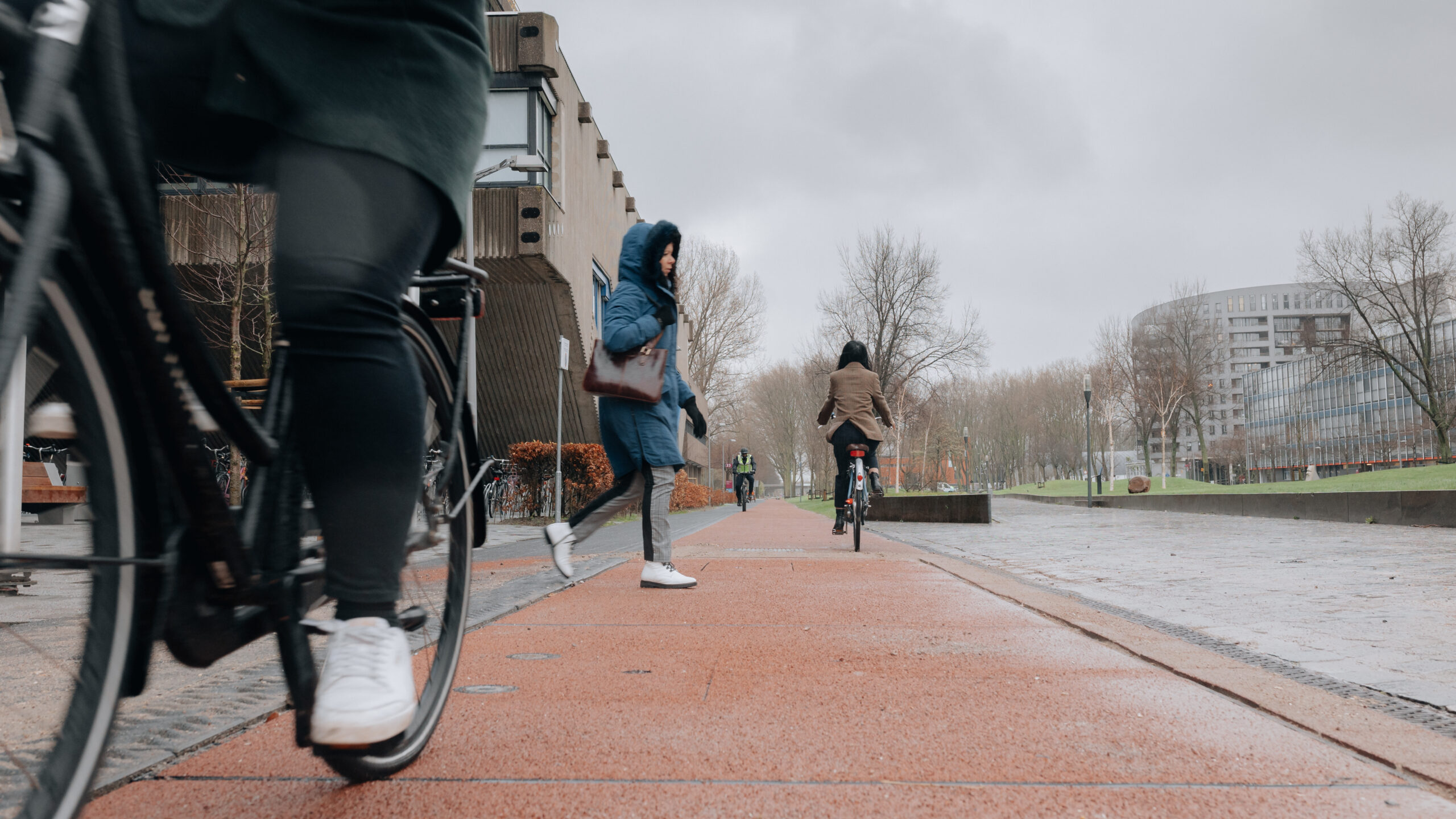
It does not seem much, 25 meters, but according to Sascha Hoogendoorn-Lanser of Mobility Innovation Centre Delft, this stretch of bike path on the university’s campus is enough to be used for carrying out research.
This intelligent section of the bike path maps out how much traffic is passing over it, at what speed, and at what time. The project provides crucial information about the behavior of road users that can be used to organize the accessibility of the cities of the future in a smarter and more efficient way.
Cooperation on the bike path
TU Delft, PlasticRoad and the Metropolitan Region of Rotterdam The Hague are cooperating in this project. This alliance of science, business and government for low-speed traffic makes the project unique, according to the company.

PlasticRoad is an innovative company which is supplying road sections with sensors under and in the road surface. These make it clear how a road is being used and what impact it has on a segment of road. Information about temperatures and the amount of precipitation is also collected.
The underground sensors complement TU Delft’s already existing above-ground monitoring system. That comprises 3D cameras, wifi, radar, bluetooth and mmwave (a technology with a very high wavelength which enables more data to be transmitted via the air, ed.) According to the initiators, the innovative sensors and special combination of measurements make it the most intelligent bike path in the Netherlands. It is to be officially opened in January.
Underground sensors
Eric Kievit of PlasticRoad explains how it all works. The company is innovative in the field of sustainability. It produced the elements specially designed for the bike path. The raw material used is recycled household plastic waste. Thanks to a hollow space, these elements can also temporarily store rainwater. PlasticRoad also supplies the underground sensors.
“The sensors serve various purposes. One is to predict when maintenance needs to be carried out, but also, for example, to help improve traffic flow. This can be done with the help of something like dynamic signposting. There will be tests on how vandalism-prone and robust the system is and how reliable the data is that the sensors provide.”
PlasticRoad focuses primarily on light traffic: pedestrians and cyclists. One consequence of the smart bike path might be that traffic lights function better, and take cyclists more into account. “That a traffic light is on green longer in bad weather, for a start. This can be done automatically through detection.”

Information
Making efficient use of the information that is obtained is key to the success of a smart bike path. Road information must be able to be passed on to platforms such as traffic lights, public lighting, dynamic signposting but also in the future for planning maintenance and drainage.
Sascha Hoogendoorn-Lanser, among others, is working on the bike path on campus for TU Delft. “Testing the quality of the sensors is particularly important. Do pressure sensors perform well under certain conditions? For example, at night, or when it’s very wet? The great thing is that we can now combine that data with images from our 3D cameras.”
“We have been doing research for some time now on how to manage traffic more intelligently at stations or festivals, for instance. This has now been joined by this underground network of sensors.”
By way of reassurance, she adds that privacy is being kept an eye on. “We can’t actually see any cyclists with our cameras. We only get to view the data in time and space as anonymous dots. It’s not our intention to know exactly who is where at what point in time.”
Applicable elsewhere
Kiev agrees with the Delft researcher that the Netherlands is leading the way internationally as a cycling country. The more specific the better, is then the motto. “How does traffic behave in torrential downpours, when you’re caught unawares by rain? If you can predict what will happen, then you can anticipate it. And does it also work well enough to detect scooters or mopeds separately?”
Also interesting: Innovative data dashboard creates digital twin city
A high-tech stretch of bike path in Delft sounds wonderful, of course, but how applicable is it on a larger scale? “To be able to test as many things as possible, this bike path has been crammed with sensors and other technical equipment. But that is not necessary in real life. A selection of them will suffice. In practice, you look at what is needed for a specific location. It is precisely by doing research that we know what works best for which specific application.”
“Also, you have to realize that with a good selection of these sensors, they are affordable in practice. It’s also about what you’re willing to do to make traffic safer and more comfortable.”
Digital twin
All the data that is generated can be tracked along with other data in the Outdoor Mobility Digital Twin, a digital copy in 3D at the TU Delft Campus. In this system, all public transport movements on TU Delft Campus can be seen in real time.
The amount, speed and direction per minute of cars, cyclists and pedestrians are mapped here. Artificial Intelligence can be used to make accurate short-term predictions of traffic flows on the TU Delft Campus. Longer-term forecasts can also be made. The insights into movements on TU Delft Campus are relevant for the design of sustainable mobility solutions aimed at the accessibility of cities in the future.
Focus on low-speed traffic when applying modern techniques is becoming increasingly important. For example, work is also being done on mobility solutions for masses of people during peak travel times due to, e.g., Black Friday. Or when masses of demonstrators want to go to The Hague’s Malieveld grounds to protest. With good information, NS railways can then decide to adapt the timetable, for one thing, so as to steer the flow of people in the right direction.
Related Posts


