
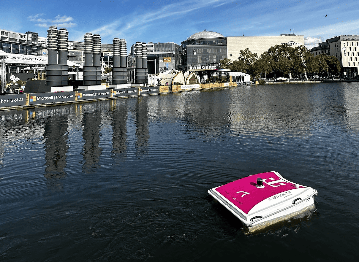
RanMarine Technology is partnering with Deutsche Telekom to more effectively remove litter from rivers and lakes. The German company will equip RanMarine Technology’s advanced autonomous water drone WasteShark with a navigation system accurate to the centimeter. Navigation and water quality measurements are thereby further improved. “The navigation system is significantly more reliable than other options, allowing us to increase our effectiveness significantly,” said Richard Hardiman, founder and CEO of RanMarine Technology.
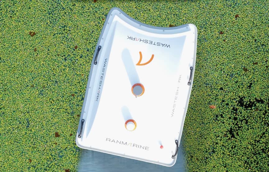
- RanMarine Technology’s water drone autonomously removes plastic and algae from rivers and lakes.
- Thanks to Deutsche Telekom’s navigation technology cleaning becomes more accurate.
- This technology also ensures better water quality measurements.
Deutsche Telekom’s navigation technology – the “Precise Positioning” system – offers the WasteShark many advantages. The water drone safely and quickly finds loading and unloading stations for battery charging and waste unloading, respectively, travels more efficiently along the marked route, and can collect more waste in the same amount of time. This results in lower costs and fewer loading cycles. In addition, the drone can determine the location and timing of water quality data, such as pH or temperature, even more accurately. Also, the water drone can avoid obstacles even better.
Autonomous water drones clean rivers and lakes
In the ongoing fight against the increasing pollution of our oceans, about 80 percent of plastic waste in the seas comes from rivers, canals, harbors, and beaches. RanMarine Technology’s WasteShark navigates these polluted waterways, swallowing plastic bottles, bags, and even harmful biomass such as invasive algae like a sailing vacuum cleaner.
The WasteShark can be remotely piloted and autonomously follow a pre-programmed route. Advanced technology, including a camera, sensors, and a GNSS (Global Navigation Satellite System) receiver, ensures safe navigation while avoiding obstacles. The so-called LiDAR sensor detects objects with laser precision in three dimensions.
Navigation down to the centimeter
A challenge until now has been the inaccuracy in determining position via satellite data. Deutsche Telekom’s Precise Positioning solution makes it possible to determine the position of mobile vehicles extremely accurately, down to a few centimeters, via a sophisticated satellite system.
Hardiman: “The service is available in almost every area of the world where our WasteShark is deployed. It gives us the accuracy and scalability needed to improve and develop our drones continually. With advanced technology and accurate positioning systems, RanMarine Technology is taking another step toward clean waterways and a healthy planet.”
Related Posts


