
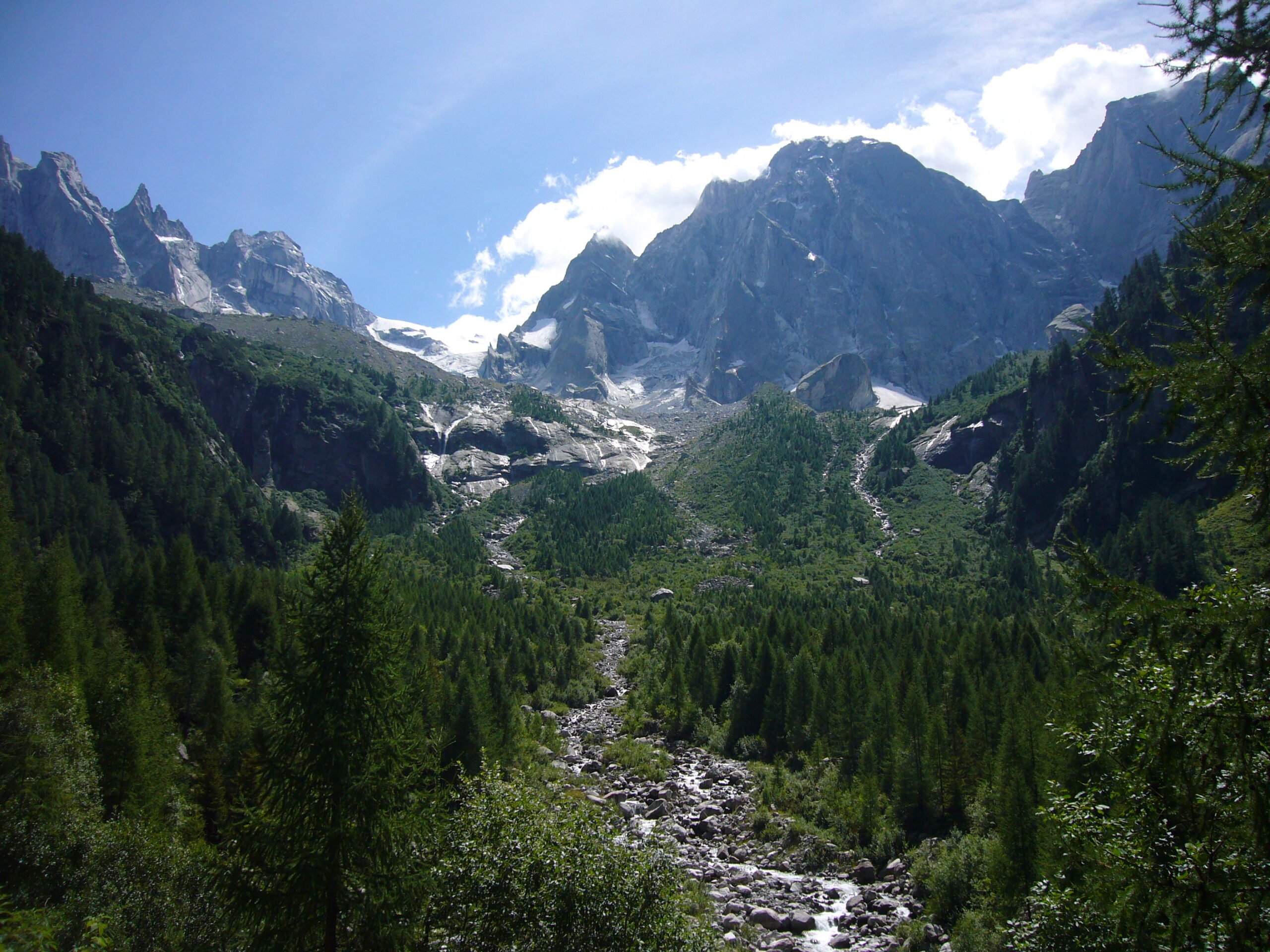

At Piz Cengalo in the Swiss canton of Graubünden, a rockfall occurred in 2017 that sent four million cubic meters of rock and mud sliding into the valley. The threat of new rockfalls is latent, and for residents in the valley, that means living in constant danger. “We have continuously expanded our living and economic space and opened up the mountains with traffic routes. The sustainability of this has not always been questioned,” says Professor Jan Beutel of the Institute for Computer Science at the University of Innsbruck, Austria. In the course of global warming, we are now paying the price for this carelessness with rockfalls, among other things. The trigger is thawing permafrost, which leads to increasingly unstable rocks. In addition, heavy rainfall causes increased landslides and mudslides.
Observation from the valley
On Piz Cengalo, investigations have so far only been carried out from a distance. This has been carried out with rotational laser scanning, as well as permanent installed cameras, seismometers and radar (terrestrial interferometric synthetic aperture radar), according to the professor. Terrestrial radar interferometry is used, among other things, to estimate natural hazards, enabling gravitational mass movements with a high temporal and spatial resolution – almost in real time.

Observation on the mountain
He himself conducted research at ETH Zurich, Switzerland, in 2017. There, he investigated the influence of climate change on the stability of steep rock faces on the Matterhorn mountain using systems for early detection of rockfalls. At that time, he attached wireless sensors directly to the rock for the first time. The sensors record acoustic signals and measure gap movements and vibrations, among other things. However, the sensors do not communicate directly with the transmission tower, but with each other. The information first reaches the laboratory via a data collection point. There, the researchers evaluate the data and look for indications of impending natural events.
In the project on the Matterhorn, he and his colleagues have created “a network that is extremely reliable, power-saving and efficient,” Beutel says. Even if one of the many sensors in the sensor network fails, the system continues to function. The power for the control center is generated by huge solar panels.

Possible rockfalls in Tyrol
Based on these findings, Beutel has now also been conducting research in Tyrol, Austria, for a year. The goal is to achieve longer warning times for the population living in the valley. The research conditions in Tyrol are good, he says, because there is a large and dense network of observation stations here – and the possibility of conducting basic research across disciplines with geologists, glaciologists, geographers and technical disciplines.
Also interesting: Communicating the risks linked to natural hazards
Tyrol has lower mountains compared to Switzerland. It is therefore assumed that comparable rockfalls could also occur with a time delay in the Austrian Alps, not least due to the ongoing glacier melt. Permafrost reacts very sensitively to changes in the snow or ice cover. Therefore, the researcher wants to collect data and draw comparisons and conclusions.
Intelligent sensors
With current measurement systems, when you measure a point, you don’t know what’s happening at the point next to it. Or if you measure the temperature, for example, you don’t know whether there might also be movement at the moment. “So it’s a matter of using exactly the right sensors in the right place in the right dosage, and unfortunately that’s still done manually today. That means the measurements are not very data-driven,” Beutel explains.
Beutel wants to develop a new generation of intelligent sensors that measure more robustly and efficiently. In addition, he says, large amounts of data need to be managed and processed. “In the early years, reliability and efficiency of the system were the most pressing issues. But today we face the challenge of collecting the right data.”
Rocks move according to patterns
Taking measurements everywhere is neither possible nor expedient because that would lead to very large amounts of data. It is already known that rocks move according to certain patterns and that measurements are particularly useful when the pattern is broken. A distinction must be made between reversible and irreversible movements. The latter is problematic because if a displacement always moves in the same direction on a regular basis, at some point it becomes too much and there is a rockfall, Beutel says.
It would be just as unproductive to carry out permanent measurements. Therefore, the intelligent sensors should only generate data when it is proven to lead to the highest added value.
Hazard model
To be able to decide on the basis of the collected data whether danger is imminent, the data must be processed. The data situation at which action must be taken depends on the type of hazard. At most, a suitable model is needed that makes it possible to read a forecast from the data – comparable to measures in climate policy that are based on a climate model such as + 1.5° Celsius, for example.
Related Posts


