
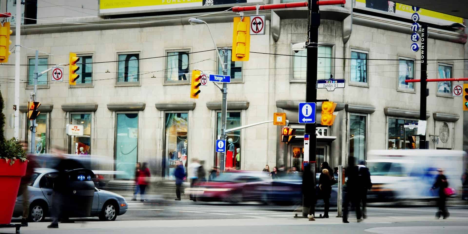

Traffic is one of the many variables that have a bearing on the livability of a city. Moving within a given urban area – or being able to access it – can be daunting at times. However, it doesn’t have to be like that, as digitalization through data exchange can help improve vehicle flows.
Nowadays, information is as multifaceted as never before. Geospatial data, weather forecasts, and the measurements from sensors on roads and at traffic junctions, are just a few examples of information that is available. All of these and more can optimize road users’ movements around urban areas, which are going to be more and more densely populated. In 2021, three-quarters of the European Union’s population lived in urban settlements – worldwide the proportion was 57 percent. By 2050, this figure is set to rise to 68 percent, a report by the United Nations finds.
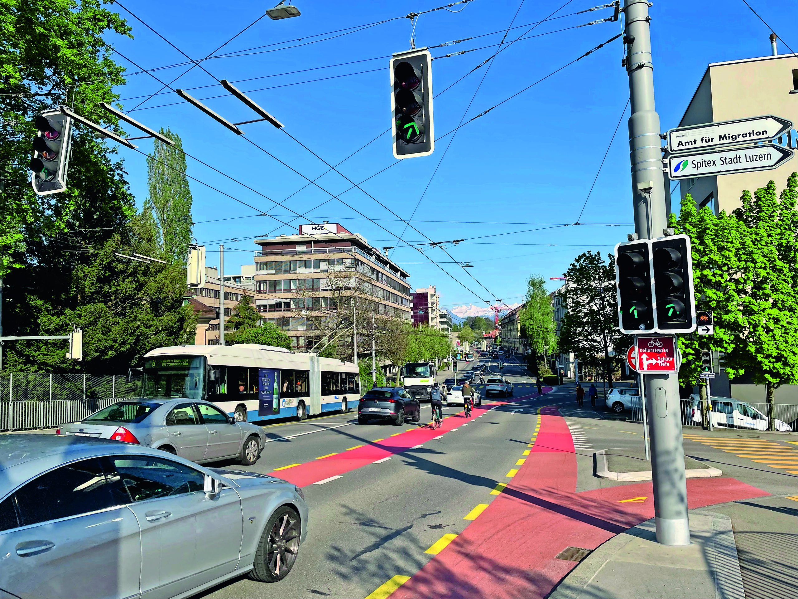
Virtual traffic junction
The topic is a pressing issue in Belgium, where 98 percent of the population lives in an urban agglomeration, and road infrastructure cannot be expanded any further. These assumptions are behind the founding of Mobilidata. The program – initiated by the Flemish government and imec, the country’s leading R&D institute – is working on innovative traffic solutions.
The project designed a hub of traffic data sources. At the core is a mobility interchange hub – which works as a virtual traffic junction – where data from different sources come in and mesh with the various ends of the ecosystem. At one end of the hub, there are intelligent traffic lights, at another, road users who are connected via mobility apps can share their location info. Public data – about construction works, accidents, and traffic signs as well as info from traffic apps and road users’ data are also used. “With all this information, we can create specific use cases that can be applied on roads. Some examples are a priority for an ambulance or longer green lights for cyclists whenever weather conditions are bad,” explains Anne-Marie van Asbroeck, program lead for Mobilidata at imec.
The hub can also share information with car navigation systems and mobile traffic apps. The other way round, these private services also generate information, which can be shared with the hub system, as a way to ultimately provide the best experience to all road users. Overall, Mobilidata is working on 31 different use cases, the initiative aims to install 380 smart traffic light systems in Flanders.
Exploiting data’s potential
However, to get the most out of data – especially for local governments – categorization and openness can make all the difference. That is one of the main considerations of the LOD-RoadTran18 project, a collaboration between Spanish and Czech researchers. Although the initiative deals with non-urban roads, it does serve as an example of how access to open data can be optimized.
“Our project started when we answered a call from the European Union to support the re-use of information that was made accessible through the European Data Portal. To ensure the compatibility, interoperability, and continuity of data use, we followed two EU directives. These specifications required member states to have a national access point (NAP). Each NAP would then link up with a European database of traffic information,” explains Dr. J. Javier Samper, who coordinated the project. He is a professor of computer science at the University of Valencia and a member of IRTIC, with many years of experience in Intelligent Traffic Systems.
Overall, the main task within the initiative was to improve the Spanish NAP by adding more datasets and an interface to manage that information. The platform is now accessible to everyone. “In doing this, we tried to give more added value to data, aligning with different data streams. For example, lists of hospitals, gas stations, etc. around the location where a traffic incident occurred. Linking more streams provides more significant information than just isolated data. This was our idea and we made it happen,” Samper emphasizes.
Making information digestible for policymakers
Shared mobility services are the new actors reshaping urban mobility. In monitoring these new traffic flows, Vianova offers its expertise to help public and private organizations collect and make sense of traffic data – particularly the data coming from vehicle-sharing businesses. The mobility intelligence platform provides maps and dashboards on all traffic data related to that specific urban area.
“Our job is to get data to come alive for those who aren’t specialists on the matter or spatial engineers. Furthermore, in terms of data, we can build more insights, and provide recommendations based on the information we can gather. Officials can make data-driven decisions, such as where to plan mobility hubs or cycle paths,” explains Alex Pazuchanics, head of policy and innovation of the French start-up.
Among the use cases, is Brussels, which used a dataset to prioritize cycle paths during corona lockdown. In Stockholm, Sweden, information about parked vehicles helped locate new parking lots. Similarly, Amsterdam is making use of this information to plan future electric mobility hubs.
Impact of data
How powerful can data be in the cities of tomorrow? In Samper’s view, the potential of data lies in how it is used. “Disclosing data has an impact per se. Especially if that information is the result of combining more sources that could provide more detail.”
According to Pazuchanics, helping policymakers decide using data does make an impact. “An example of what we do is collecting information about what roads are being used for a given trip. This way we can gain an understanding of which ones are the busiest. By linking this information to existing infrastructure, we can pinpoint where the gaps in it are. This information then helps cities to plan subsequent infrastructure. After they have built it, they will still be able to monitor the impact of that decision.”
Cutting emissions with data
Optimizing traffic flows with the use of data also implies promoting more sustainable ways of getting around. “Through the use cases that we have developed, we give cyclists on the road a greater level of comfort, which improves their safety. What’s more, public transport is also given priority,” van Asbroeck points out. Scientists at imec also devised a use case to give trucks the green light at intersections near logistics areas – such as ports. The fewer stops, the lower the emissions.
Moreover, Vianova recently introduced an AI-based tool for tracking CO2 emissions. In the cities the company started experimenting with the tool, they created a baseline by mapping areas where shared mobility is available. Seasonal trends and weather information can be matched too. From there, playing with variables – increasing the number of trips in a given area, for instance – provides a forecast of what would happen, and if and where shared mobility results in higher carbon savings. The tool is meant to provide policymakers with one more element to inform their decisions.

Data-driven cities
Mobilidata will officially end in 2023, with one extra year to monitor the program’s impact and to expand its ecosystem. “All the data we collected will give insights into the cities’ actual traffic flows. In further research projects – where we can use different data sources – we are analyzing scenarios prior and post to the application of a given policy,” van Asbroeck underlines.
As European cities aim at ambitious emissions-cutting targets, many more of them are creating pedestrian-only areas and low emissions zones. “At the end of the day, there are still going to be people that need to get access to those areas, businesses that need to get their goods, and so on. This sets a totally different kind of challenge and pushes us to operationalize our principles about decarbonization and sustainable transport,” Pazuchanics underlines.
With the rise of Artificial Intelligence and the wider availability of information, the role of data will become more and more prominent to plan the mobility of tomorrow. Will traffic jams be a thing of the past?
Related Posts


