

Under the strict observation of the German TanDEM-X radar satellite, researchers from the Canada Centre for Mapping and Earth Observation (CCMEO) found that fast-driving Ice Road Trucks cause wavelike elevations and depressions in the ice crust. However, the study was not focused on speed measurements, but on the question, to which extent the DLR satellite TanDEM-X can be used to support the ice road management.
Focusing on the Winter Street Tibbitt-to-Contwoyto
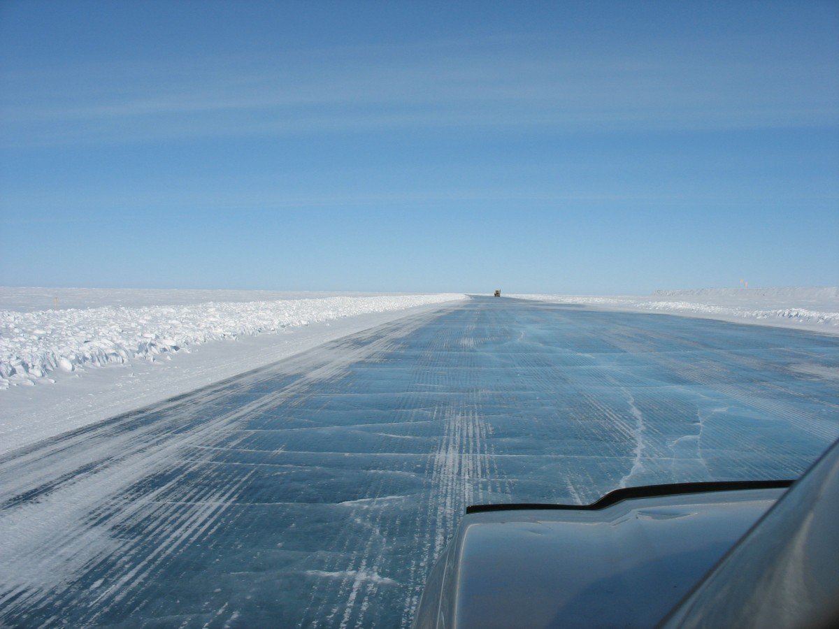
The courageous ice-truckers to be seen on film and television, weighing tons, delivering goods with their trucks across the frozen lakes of Canada, are now also well-known in Germany. These highways, which only exist during a few weeks of the year, provide remote communities and industries with material, which is difficult to transport. This saves time and money. But is also very risky. Furthermore, climate change is increasing the difficulties of the ice road operators.

The CCMEO study focuses on the winter street Tibbitt-to-Contwoyto in Canada’s northwestern territories. One of the findings is visible on the radar image: Fast-moving vehicles lead to undulating elevations and depressions of the ice crust. Especially in shallow waters, this can lead to dreaded ice breaks, thus endangering safe traffic.
The image was generated using the differential SAR-interferometry method, from two TanDEM-X datasets, which were taken in an interval of 10 seconds. Due to the time interval, it is possible to detect vertical shifts of the ice crust caused by the traffic on a centimeter scale with a high detail density and accuracy. This cannot be achieved with any other technology yet.

Thus, it is clear: radar satellites like TanDEM-X are useful tools for gathering information. They support the ice road management with their ability to capture the ice roads in the darkness of winter and under intense weather conditions with extreme precision. Furthermore, the radar technology allows the data to be collected regardless of the weather. Because snowfall, rain, as well as darkness do not play a role for radar images, as they do not depend on visual recognizability. Moreover, the relatively long wavelengths of the radar satellites make it possible to look into the ice. They can therefore make statements about the quality and composition of the ice crust. A very useful information to prevent the so-called moving vehicle problem, meaning the breaking in of trucks.
Expertise from Germany
The scientists of the Institute for High-Frequency Technology and Radar Systems of the German Aerospace Center (DLR) are well-known for their special radar technology and analytical methods, which enable an extremely precise observation of permafrost. Already in the fall of 2018, the Germans cooperated with a Canadian team, in order to observe the permafrost in the Antarctic using the latest radar technologies. The DLR-winter campaign PermASAR(Permafrost Airborne SAR) will start in March 2019. This is meant to provide northern Canada with a state-of-the-art radar dataset in the X-, C- and L- (frequency) band, for earth observation and the management of ice roads.
DLR has already conceptualized a possible follow-up mission to TanDEM-X. For instance, two radar satellites are planned for the Tandem-L-Mission Concept. They work in the L-Band (23.6 centimeter wavelength) and capture dynamic processes on the earth’s surface, globally and systematically.
The aim of Tandem-L is to reproduce the land mass of the earth in a weekly rhythm. So far, TanDEM-X needs a whole year for this. The developers of DLR are convinced that the mission will set new benchmarks for earth observation. Most notably, they will then be able to observe global change with a new quality. This in turn allows them to make important recommendations for action. With the new technology, the three-dimensional structures of vegetation and ice areas could be recorded, and deformations measured over a large area with millimeter accuracy.
Also interesting:
The Glaciers are Melting in Greenland, Antarctica as well as on the Hindu Kush
Related Posts


