
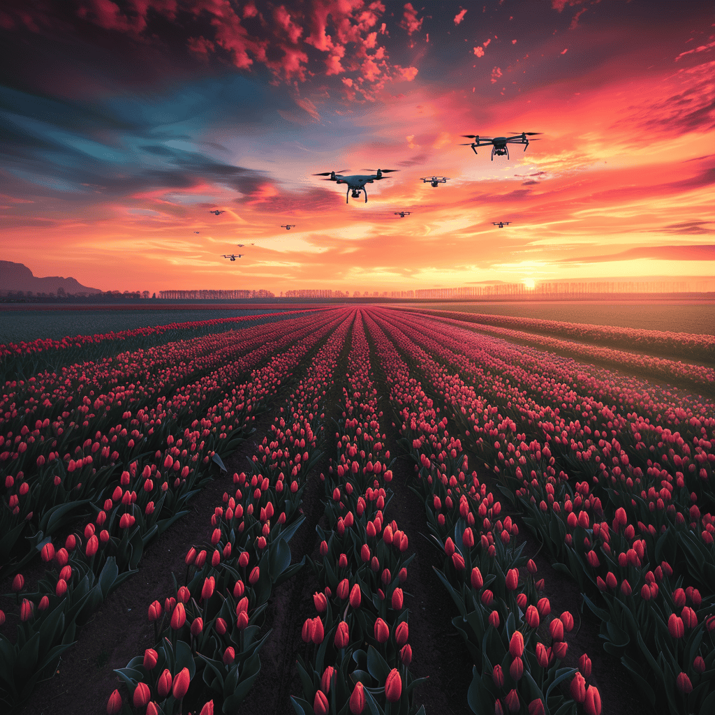
With the naked eye, it is very difficult and labor-intensive to tell if plants are healthy. Drones and AI, on the other hand, are ideally suited for this and can analyze plants down to the millimeter. Unmanned Valley, together with partners, is using drones and smart AI algorithms to identify diseased tulips and hyacinths. “Farmers no longer need to over spray their entire field with pesticides,” says community manager Dietmar Lander.
Why you need to know this:
AI can be useful in all different kinds of areas, including farming.
Farmers use pesticides to prevent or control bothersome diseases, pests or weeds in crops. However, overuse of these agents poses risks to water quality and biodiversity, among other things. The number of pesticides allowed in the European Union is therefore rapidly decreasing. These measures are part of the European Green Deal. However, promising alternatives have so far failed to materialize. Fortunately, AI can offer a helping hand.
This is an article from our magazine IO Next: AI for good. The fact that AI is becoming an increasing part of our lives is a given. But what impact will this technology have on our lives in the future? This magazine edition focuses on precisely that question.

Suppose there are a hundred thousand tulips in a field. If one diseased specimen is detected, the flower grower sprays all the tulips with pesticides. They thought, “Remote Sensing for Floriculture,” a joint project of Unmannend Valley, Greenport Dune and Flowerbulb Region and NL Space Campus, must be able to do better. “We send a drone with a camera into the field, collect data, then have AI analyze the data and can then determine exactly: this plant is not healthy, and this one is.” The model is specifically trained to recognize botrytis (a fungus) in tulips and hyacinths. It is expected that – with some relatively minor modifications – other diseases can also be detected in other crops. The test fields over which the drones flew – one of the fields with more than a million hyacinths – are in the Bulb Region.
In the future, the parties plan to combine drone data with satellite imagery and current soil and weather data. “Feeding AI with more data will eventually make the system much smarter,” Lander said. So far, a lot of energy and time has already gone into training the AI, he says. “We had to keep tapping around a card to see which hyacinths look ‘normal’ and which ones are sick, to teach the AI this task. The more data the AI was ‘fed,’ the better the AI could do its job.”
Fewer pesticides, less cost
With the help of drones and AI, farmers can therefore apply pesticides in a more targeted way. But the new method brings more benefits, Lander explains. “You save significant costs when you have to buy fewer pesticides. You also save labor costs because you need fewer people in the field to figure out what’s wrong with the crop.”
The challenges
Lander and his colleagues get a lot of energy out of the project. “We get enthusiastic responses from farmers in the neighborhood. That gives a boost to further develop our technology.” Still, the project has some bumps in the road, for example in the area of regulations. “In the Netherlands, the drone pilot must always have sight of the drone, which must remain within a range of, say, 500 meters. There are exceptions here and there, but the regulations in the Netherlands make it difficult for projects like ours to get off the ground.” Much more is already possible in Germany or Denmark.
Unmanned Valley recently presented a manifesto to the Ministry of Infrastructure and Water Management on the subject. “We asked the minister to start working on it,” he said. Lander expects that the legislation will eventually be changed. “We cannot lag behind other European countries.”
A long to-do list
And there are many other items on the priority list. “For example, we are thinking of developing a user-friendly app that farmers can simply download from the Play Store. Ultimately, every farmer should be able to easily use our solution themselves. Farmers purchase the drone, and the drone then performs its mission autonomously. It maps all the points, lands in the drone box and then moves on to the next field. Simple as that.”
Lander and colleagues are also experimenting with different drone types. “For the project so far, we have used a domestic drone. But we are now also testing with a larger drone from the Katwijk-based company ATMOS UAV. This one specializes in mapping large areas.”
Once the regulations, the system and the app are in place, Lander is sure that the project will map a lot of Dutch plots in the future. “If we can use technology to protect our biodiversity, then we should go all out for it.”
Related Posts


