
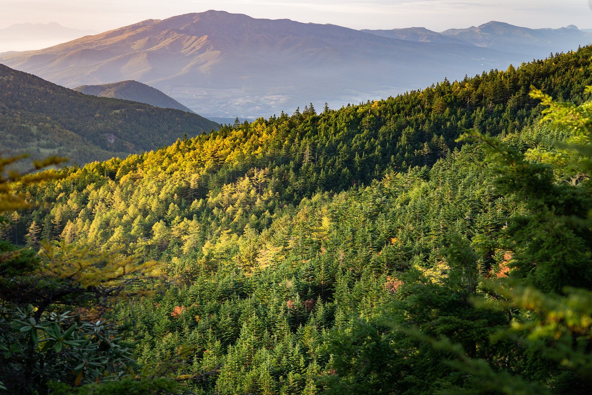
Interactive online platform uses satellite images to display status of European forests. The output is based on the greenness of trees. With the latest functionality, users can also view and download data for individual countries and selected time ranges to learn more about the condition of forests. The data analysis and visualization tool was developed by scientists at the Technical University of Munich (TUM).
The increasing frequency of extreme weather conditions due to climate change poses a threat to forests worldwide. Droughts, late frosts, water-logged soils after floods, heavy precipitation and winter storms often cause tree die-back. Since extreme environmental conditions often impair tree defense mechanisms, secondary pathogens such as fungi and beetles frequently amplify tree decline and die-back rates, writes TUM in a press release.
Some tree mortality factors are easier to track in live
“Tree health is impacted by soil conditions, the stand structure and the microclimate. However, the fate of a tree is also determined by eco-physiological factors such as sap flow and the regulation of leaf water potential,” says Anja Rammig, a professor of Land Surface-Atmosphere Interactions at TUM.
But some key eco-physiological processes cannot be studied retrospectively for dead trees. At the same time, it is difficult to forecast where, when, and which trees are going to die in order to install monitoring equipment ahead of time.
Remote sensing of forest decline and die-back
The Forest Condition Monitor (FCM), an open-access web-based information tool, uses remote sensing data for color-coded visualization of the greenness of European forests during the vegetation period based on deviations from long-term norms. The app now has new, interactive functionality that allows users to select data for individual countries and time ranges and download the underlying data. In addition, the visualization form makes it easier to identify hotspots for forest die-back and decline throughout Europe.
With timely identification of high-stress areas, scientists will be able to study these regions and warn forest owners of potential risks.
Early warning system for stressed forests
According to the FCM data, the forest was in relatively good shape in 2021. “It’s interesting to see that, in the rainy summer of 2021, Germany’s forests partially recovered from the hot summers in 2018 to 2020. Naturally that only applies to the surviving trees. The damage incurred over the past three years is still there,” says scientist Allan Buras, who coordinates the FCM.
The FCM shows that forests are capable of regeneration even after extreme drought conditions. “This also provides important information for interpreting the medium-term effects of droughts on forests. However, it is also clear that the pine forests of Brandenburg and especially the spruce forests of the Harz region as well as the Thuringian forest did not benefit from the rainy summer. They still appear red in the FCM, which means that the damage from 2018 to 2020 was so extreme that it remains visible today. This is indicative of fairly substantial long-term damage,” says Buras.
“The FCM data, complemented by additional ground-based studies and monitoring campaigns, could help to identify causes for variations in the greenness of tree canopies and thus to gain a better understanding of the eco-physiology of trees under stress in natural surroundings,” says Prof. Rammig.
Also interesting: Protecting and managing forests with the help of artificial intelligence
Selected for you!
Innovation Origins is the European platform for innovation news. In addition to the many reports from our own editors in 15 European countries, we select the most important press releases from reliable sources. This way you can stay up to date on what is happening in the world of innovation. Are you or do you know an organization that should not be missing from our list of selected sources? Then report to our editorial team.
Related Posts


