
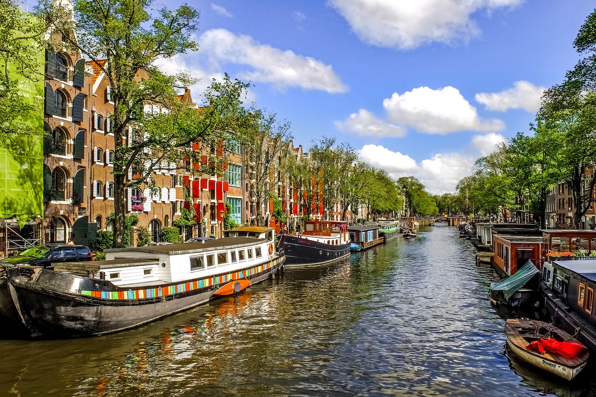

Being able to see the value of green public space, clearly visualized, at the push of a button. Burgeoning methods of measuring and digitalizing the value of green spaces are taking on a new dimension this year. This is because data from the Dutch Basic Municipal Registry and the Groene Baten-planner (Green Benefits Planner) is to be linked together in a 3D environment. The Dutch cities of Amersfoort and Zwolle are the pilot regions for this, with a subsidy from the Dutch Digital Government Innovation Budget.
The Green Benefits Planner devised by the Dutch National Institute for Public Health and the Environment (RIVM) is an example of the advances in the development of knowledge as a tool for expressing the added value of green spaces. It fits in with the list of instruments and tools in this field, such as the global initiatives TEEB (The Economics of Ecosystems and Biodiversity) or i-Tree.
The latter is an international model whereby the benefits of trees can be expressed in figures and in monetary terms. TEEB is an internationally-applied method for defining the values of nature and water. In both methods, the problem is that they cannot be equally readily applied to local situations.
For a long time seen as an expense
For a long time, green space has been viewed primarily as an expense. This is in part due to the fact that the benefits are difficult to measure. And these benefits are spread out across a variety of private and public parties. The ability to measure the value of green space is an opportunity to have it play a more important role.
Ton de Nijs from RIVM on the process of measuring and digitalizing green space and public health: “It is a continuous process in which instruments are constantly being fine-tuned and better aligned with actual practice. Lots of municipalities are working on this. You do have to take local conditions into account. It makes a big difference whether you plant a tree on the Veluwe forest or in Amsterdam.”
Some of the findings of this planner for Amsterdam are, in the case of the most profitable approach ‘Groen dichtbij -groen in de buurt‘ (Greenery nearby – greenery in the neighbourhood), as follows: Per hectare on an annual basis: €540 profit due to 9.6 kilos reduction in particulate matter, €10,000 lower healthcare costs, €47,000 fewer costs due to sick leave, 1100 minutes in time gained for physical activities outside the home; and a one-time benefit taken at the time of the measurement of €202,000 for the increase in the value of real estate in the vicinity of green areas. Roughly speaking, depending on the location, new green space in the city quickly yields an added social value of approximately €1 to 10 per square meter per year.
Amsterdam and Dordrecht already use the planner
The transition has been made on the basis of existing research, which is often based on big data analyses. Moreover, the situation for Amsterdam shows that the extent of the value of green space is partly determined by the surrounding environment. The greatest benefits in urban areas can be achieved in densely built-up neighbourhoods with a lot of residents that do not have much green space to begin with.
For governments, the scientifically-substantiated Green Benefits Planner provides a foundation and an argument on which to base policy. For instance, for constructing a park or greening a city.
Amsterdam is using the results as input for its recently adopted Green Vision 2020-2050. The city of Dordrecht, for its part, is working on a plan for a city park. This plan aims to be as solid as possible in terms of the value the benefits bring. The RIVM is providing insights into the benefits of green space for this city by the Merwede river.
Linking the planner to a 3D environment
A new development in which RIVM is involved links the Green Benefits Planner to 3D planning tools. A link has already been established with the Climate-proof City toolkit. This shows how effective measures can be taken against flooding, drought and excessive heat. Also, as De Nijs points out, technological advances are making it possible to better visualize issues (such as air quality or CO2) in order to underpin the value of green space.
RIVM, Amersfoort and Zwolle municipalities, Utrecht province, and Tygron geodesign platform have now received money from the Dutch Ministry of the Interior’s (BZK) Digital Government Innovation Budget for ‘generic linking of data and knowledge instruments to a 3D environment’. The project will start this year.
The innovation of the Green Benefits Planner that is linked to a 3D environment has two goals initially. One is to make the spatial planning process simpler and more efficient over the long term. The other is to make the anticipated effects on the health of local residents more transparent. To date, knowledge institutions such as the RIVM have relevant knowledge of the effects of spatial planning measures. That knowledge, including software, is available to third parties. Albeit that this is easier said than done. The application of tools such as the Green Benefits Planner is complex. Which is where the innovation budget from the Ministry should help. The Dutch government hopes that the link will make this knowledge more easily accessible to municipalities.
Amersfoort and Zwolle trial with 3D
De Nijs clarifies the ins and outs of the new development: “It is too expensive for us to develop this kind of 3D environment ourselves. There are several 3D environments available that municipalities make use of. In this project for Amersfoort, we are going to link the Green Benefits Planner to Tygron. While Zwolle will be linked to the Urban Modeller from ESRI. We provide the knowledge for green and healthy living environments. Ultimately, the aim is to have an application that can be used by everyone. In addition to policymakers, it can also be used by neighbourhood residents. The planner runs on the basis of information in the Basic Municipal Registry. Basic data is processed visually in order to be able to create a visual picture of green spaces and public health.”
De Nijs is referring to the ten basic registratries. The most well-known of these for citizens is the one for ‘Personen‘ – individual persons. Others are for addresses and buildings, WOZ (property valuation) or the cadastre. The data on which the calculations are based is automatically extracted from the basic municipal registry as much as possible.
Budget determines speed of development
Tygron is a geodesign platform that is based on game technology. The multifunctional 3D software is designed to enable fast and well-informed decisions made on the basis of geographical data, comprehensive analysis methods and accredited mathematical models. Tygron calculates the effects on which decision-makers can base their decisions. The platform is a useful tool for quickly mapping out the current situation and designing future scenarios. Tygron is rated highly for its powerful 3D visualization and that any projected effects are immediately clear.
The ESRI Urban Modeller is mainly meant for urban planners. But it can be used more broadly by linking all kinds of data to a 3D model. An interactive environment can be created on a large scale and in 3D with actual geodata. Or even go backwards and forwards in time.
As to how fast the process will go, so that with the push of a button, effects and visualizations can be created throughout the Netherlands for e.g. green spaces, is primarily a matter of budget, according to the researcher from the RIVM. This also plays a major role given that a lot of ICT projects cost more than what was originally budgeted due to problems with their implementation.
Related Posts


