

Mesoscopic Convective Systems (MCS), as in so-called ‘superstorms’, occur on earth primarily in tropical and moderate regions of Africa, Australia, Asia, and America. They leave a trail of destruction and claim human lives. Austrian scientists have developed a system that can issue early warnings for these storms.
“Megastorms can last from a few hours to several days, releasing energy that is equivalent to electricity consumption throughout Austria over four years,” explains Dr. Cornelia Klein of the Institute for Atmospheric and Cryospheric Sciences of the University of Innsbruck and lead author of a new study published in the renowned academic journal PNAS. “The storm depressions are often huge – twice the size of the Dutch province of Gelderland. Precipitation in excess of 100 mm per hour is not uncommon.”
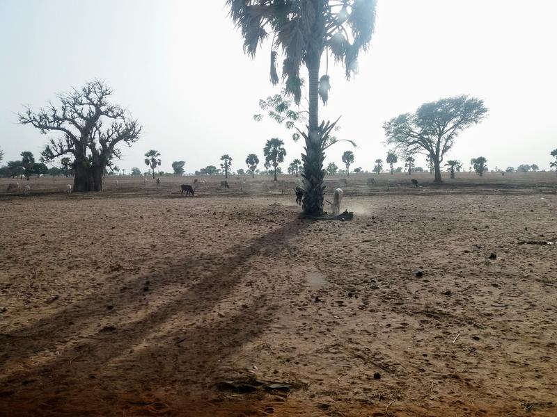
Global warming has caused these types of storms to triple in the Sahel region of Africa since the mid-1980s. Up until now, these forces of nature were considered largely unpredictable. In their new study, Klein and her colleague Christopher M. Taylor from the UK Centre for Ecology & Hydrology (UKCEH) have now been able to provide evidence that land surface conditions influence the direction and intensity of megastorms.
Dry ground acts as an amplifier
“It is well known that heat provides thunderstorms with a great deal of energy. It was generally assumed that once they started moving, they were independent as far as the nature of the ground below them was concerned,” explains Klein. “We have now been able to show that drier soil actually increases the intensity of a storm, which in turn affects the amount of precipitation and the direction in which they move. So, the air above dry ground becomes warmer and rises more easily. This also promotes the convergence of more humid air masses from the surrounding environment. Strong temperature differences with the surroundings would also facilitate wind circulation, making it easier for thunderstorms to draw in warm, moist air. “Storms always take the route where they find these favorable conditions. Conversely, we found that storms moving over ground that is wetter were often seriously weakened.”
Warning for superstorms up to six hours in advance
With the help of satellites that monitor surface conditions, it is now possible to predict how storms will behave when, for example, they approach a city. A warning up to six hours in advance can, therefore, offer a decisive advantage when it comes to taking appropriate measures and getting people and animals to safety.
Storm surges also regularly occur in the Sahel region during the storm season between June and September – with worrying consequences. “The behavior pattern of these superstorms seemed incomprehensible. But we have discovered a surprising degree of predictability,” Prof. Christopher Taylor notes. “Future advances in satellite technology will help further improve the accuracy of our predictions and consequently have a lasting effect on research into severe weather forecasts.”
Related Posts


