

“To provide a quick and insightful overview of the various types of groundwater pollution that companies, governments, citizens, and farmers need to take into account.” This is the goal of a new internet service offered by the Geological Survey of the Netherlands ((GDN: Geologische Dienst Nederland), which is part of the Netherlands Organisation for Applied Scientific Research institute in Delft.
The Dutch Grondwatertools.nl website provides users with a wealth of information on the amount of aluminum (Al) in the soil, as well as arsenic (As), ammonium (NH4), bicarbonate (HCO3), cadmium (Cd), chloride (Cl), electrical conductivity (EGV), phosphate (PO4), iron (Fe), copper (Cu), nickel (Ni), nitrate (NO3), sulfate (SO4) and zinc (Zn).
Deeper dan 50 meter
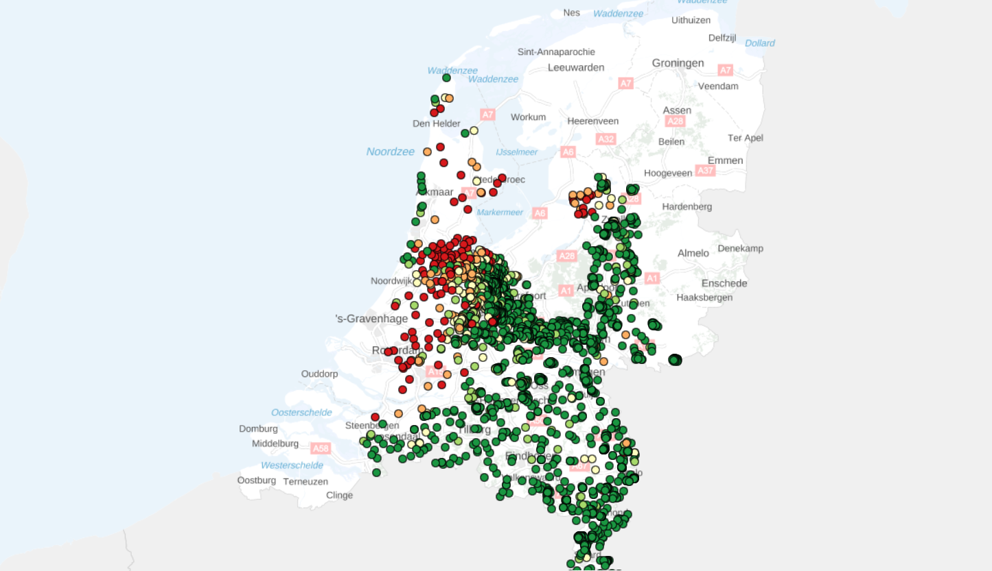
According to the GDN, the greatest improvement is that it does not only refer to data about groundwater lying just below ground level but much deeper, more than 50 meters below the surface. “Insight is gained into groundwater quality by cleverly combining a variety of data. And this reaches into the deepest levels of Dutch groundwater,” says Michiel van der Meulen, head of mapping at GDN.

Van der Meulen: “Visualizing groundwater quality information together with the geological structure works in a very insightful way. At the moment, it is predominantly information from the Rivierenland area and the south of the Netherlands that is available. This is gained in collaboration with the provinces and water suppliers. The quantity of data will be further expanded over the coming years.”
Everyone can use it
The information is open to the public. For example, it can be used by water suppliers to correlate the composition of water in their wells with groundwater quality data from the vicinity of extraction sites. And to link this to the geological structure of the subsurface.

Installers of ground-based energy systems can estimate the redox state of the groundwater in advance. They can avoid any potential blockage problems in the infiltration wells this way. Additionally, regional and national authorities can utilize the data to evaluate and identify strategic water and groundwater resources resulting from the Dutch Subsoil Structure Vision scheme (STRONG).
However, the tool does not yet offer nationwide coverage. The database now mainly contains data from the Rivierenland area and the provinces of North Brabant and Limburg. The aim is to perfect the dataset over the next few years.
Related Posts


